
 First Officer
Have you ever wished you could see more of the world map than the map utility shows at a time?
Some time ago I made a whole world composite from the utility and just today cleaned it up. Here is an 800X600 jpeg version.
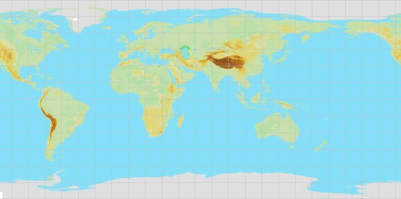
Lines of longitude and latitude are every 15 degrees.
Feel free to copy and use either of these here in your own flight sim presentations.
If you would like the full 1286x637 bitmap version you need to PM me with your email address and I'll send it to you.
If you have a program like irfanview you can do some color changes to the bitmap to make it more striking, as in the following example which took me only about 3 minutes to change.
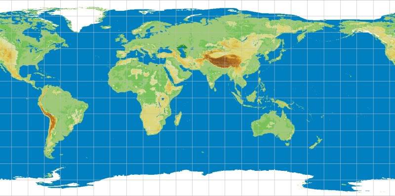
NOTE: I've learned a few tricks about changing colors with irfanview. For the above image I...
1. Copied the full sized bmp image into irfanview
2. Decreased the color depth to 256 (under image)
3. Then decreased it further to 16
4. Made my color changes (under image/edit palette)
5. WHEN I WAS SATISFIED I reduced the image size to 800 wide
6. Saved it in jpg format


