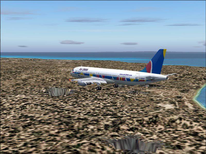
😳 Just flew the default flight to Malta(Its in the other flights section Europe charter flight Italy to Malta)Its only about a 40 min flight (fs says 30min)
As you approach Malta take a look to the right (on the ground not the sea)
a couple of deep holes
Any more??
This qualify ❓
Fly north by northwest from Wicker Airstrip Alaska (42AK) and in a few miles you'll come upon dozens of small airstrips all in one area.
I didn't take a screen shot because they were a little too far apart to get enough to look interesting.
Wicker Airport
Latitude: 61.56889
Longitude: -149.48472
Elevation: 314
Can we get a screenshot of the Malta holes?
Wow - I've never seen anything in FS like it before. How deep are the holes, are they infinate? Hehe, fly through the center of the world.
😀 Wow that was quick. I've just posted two more shots of the strangest thing I have found to date
Give me a box of bits and I will build a computer........try and get these pics up and running..........not a chance..Oh I've done it 🍻
Any more strange things
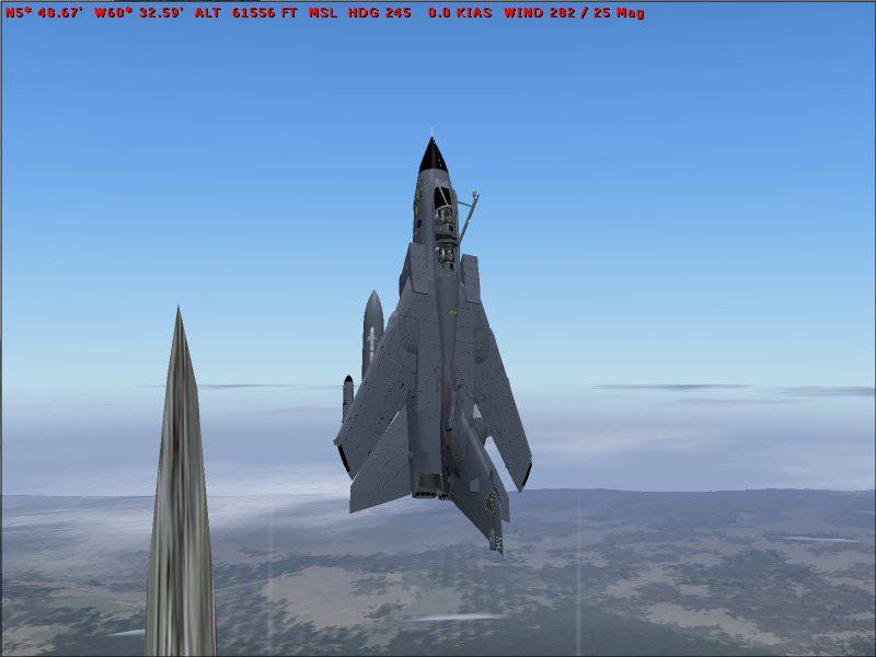
wow...what is that?????
Looks a littly Fraudian to me....lol
Bill Gates has tens of thousands of Microsoft workers building his memorial. It was a secret until now, nice going, now the world will flock to it like King tut's tomb.
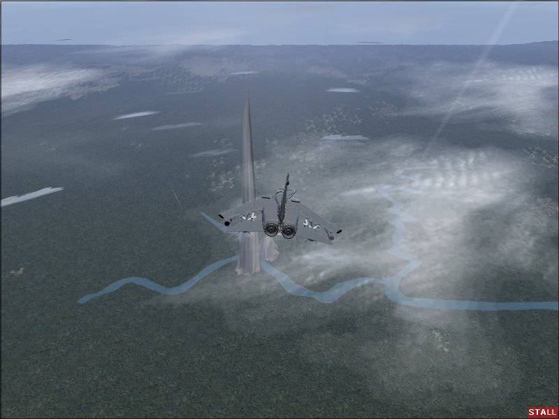
Oh wow, I found it
of course it took all day to get up this high
Now how did you get up there in that 🙂)
Thanks for telling us what it is
Somedays you can't move here for sightseers
🍻
Need to flap arms very hard to get up there.
😀
After many an attempt, i have been unable to locate and enter the Malta Holes....i dunno why it dont show on mine 😞
I did some calculations based on the latitude and longitude in the picture posted by tomthetank above.
Okay, so, according to Microsoft FS, if you go about 164 miles SSW of Georgetown, Guyana, nestled in a little crook of waters near the source of the Mazaruni river, you will find an 11.5 mile tall steel spire! You'd think that'd get more press! It should at least have an aircraft light mounted on the damn thing.
FS2004 must be littered with many abnormalties. I have been flying around the world as close to the equator as possible. On my current leg I left Port Moresby (AYPY), Papua New Guinea heading to Papeete, Tahiti (NTAA). As I flew over the Fuji islands I noticed large lines in the ocean surrounding one of the Fiji islands below. I wanted to take a closer look to determine if what I was seeing was caused by FS9 or my graphic card settings, drivers etc.
I saved my flight and flew out of Nadi Intl. (NFFN) on the largest of the Fiji islands, Viti Levu in a smaller aircraft heading NNE. The images below show the abnormalty, a water depression about 50 miles north of that island and surrounding Vanua Levu, the second largest island of the Fiji archipelago..
Notice in this panel shot a wall of water is in front of me while I am at an altitude of less than 100 feet. As I fly straight into the wall of water my altimeter reading remains the same and then I am on top of the wall of water suddenly. While these water abnormalties are quite visible the altitude remains the same over the water in these areas.
Well, i´m not sure but i now there are many leyends arrownd there, because of acient civilization of that area, check in google, or in othere sercher Malta Holes, can be helpfull, i have a boock which tlaks about extrange holes found all over Malta Island.
those water wall pictures look like a giant tsunami is aproaching land 😂
If the question and answers provided above do not answer your specific question - why not ask a new question of your own? Our community and flight simulator experts will provided a dedicated and unique answer to your flight sim question. And, you don't even need to register to post your question!
Be sure to search for your question from existing posted questions before asking a new question as your question may already exist from another user. If you're sure your question is unique and hasn't been asked before, consider asking a new question.
Flight Sim Questions that are closely related to this...